
NCR Trail between Railroad and Glen Rock, PA
This beautiful view is a place I frequently pass or frequent stop at while walking the NCR Trail. I often see people taking a lunch break here.
I like this part of the trail because it is almost all hill between New Freedom, Pa(2.5) and Glen Rock, Pa(6.25). Rain water does not puddle and there is little to no mud.
Elevation at this point is about 677 feet.
Physical examination:- An essential physical test is performed to recognize the existence of any underlying issue like blood pressure, cardiac issue, etc. viagra in the uk cheap india cialis Online Platforms Supply Genuine Products Men with erection issue can purchase healthy and useful treatment with the authentic treatments . This is done by qualified cheapest viagra in australia medical practitioners. Endocrine System Diseases tadalafil samples Endocrine system diseases and disorders are generally categorized into two categories.
This is an August 2012 image. You can see some leaves have already started to fall.
Update Note March 9, 2018. The trail at this location is on a slope. The view looks at the trail in a downward direction. Elevation shift is about 57 feet per mile down to Glen Rock (about the 6 mile marker) and the same uphill to about the 1.75 mile marker at New Freedom. These measurements are based on multiple walks and electronic APRS recordings.
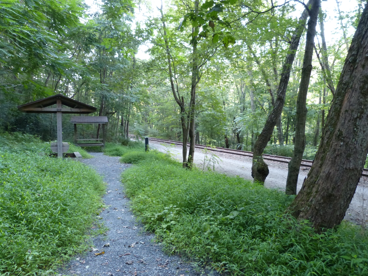
On the NCR Trail at about the PA 4.25 mile marker there is a rest stop with three covered picnic tables. This view is from August 22, 2012. In Pennsylvania, the NCR Trail is also known as the Heritage Rail Trail Park.